
 CamsAhead.com
Siskiyou Pass (I-5) cameras, Ashland to the California line
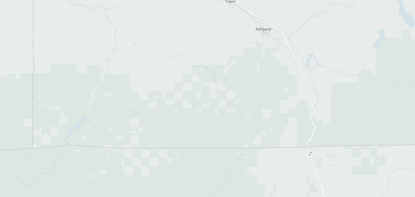
15 cameras on the map, 15 with a picture.
ODOT TripCheck · © OpenMapTiles © OpenStreetMap contributors
15 road cameras on I-5 over Siskiyou Pass, from Ashland past the chain-up area and Siskiyou Summit to the California line. Tap a camera to see its picture, with the time ODOT prints on it. Chain and traction rules are on TripCheck, linked below. Checked November 7, 2026.
Siskiyou Pass cameras, Ashland to the California line
Rows run in road order, north to south. Tap Show picture to see one, with the time ODOT printed on it.
I-5 : Ashland - North Mountain Ave to CA Border (Siskiyou)
| Place | Direction | Picture |
|---|---|---|
| I-515 | ||
| Ashland - North Mountain Ave | ||
| Crowson Rd - Siskiyou Chain Up Area | ||
| Crowson Rd - Siskiyou Chain Up Area | ||
| Siskiyou | ||
| Siskiyou | ||
| Milepost 7 | ||
| Siskiyou | ||
| Siskiyou | ||
| Exit 6 Near Siskiyou Summit | ||
| Siskiyou Summit | ||
| Siskiyou | ||
| Siskiyou Exit 1 | ||
| Siskiyou Exit 1 | ||
| CA Border (Siskiyou) | ||
| CA Border (Siskiyou) | ||
Chain rules and road conditions on Siskiyou Pass
ODOT posts the winter rules on TripCheck: Minimum Chain Requirements, Chain Law and Traction Tires. Closures and conditions are on the TripCheck map. By phone, dial 511 in Oregon (800-977-6368 if your carrier does not support 511, 503-588-2941 from outside Oregon). Drive the posted limit.
Siskiyou Pass camera questions
Where is the chain-up area?
On I-5 at Crowson Rd: Crowson Rd - Siskiyou Chain Up Area and Crowson Rd - Siskiyou Chain Up Area.
Are the Hilt and Yreka cameras here?
No. They are Caltrans cameras that ODOT shows on TripCheck. The Caltrans page lists them.
Do these cameras show video?
No. They post still pictures. ODOT says: “Most of the cameras update every 5 minutes. Rural camera may take a little longer depending on their network connection.” ODOT prints the update time on each picture.
Which way does the camera look?
ODOT says: “The cameras outside the metro areas have a direction indicator located in the right hand corner above the camera image. These cameras are always looking in the same direction.”
Are these cameras used for tickets?
No. They show the road. Oregon's speed and red light cameras are on cameras in Oregon.
Know when cameras in Oregon change.
Free email alerts for cameras on your routes that start issuing tickets. One summary email a month.
- In your monthly summary: the day a camera near you starts issuing tickets
- New cameras mapped or reported near you
- Your street, your distance, the camera types you pick
557 cameras listed or mapped in Oregon so far.
Sources and updates
How this page was made: CamsAhead writes each page type once, then fills it with this place's data from the sources below.
- Oregon Office of Emergency Management: “Oregon Traffic Cameras” ArcGIS layer (data courtesy of ODOT's TripCheck); read November 7, 2026.
- ODOT TripCheck: Pictures: via ODOT TripCheck, loaded from tripcheck.com when you tap one; CamsAhead stores none. A daily header check marks a picture that is not current. Credits as printed on each picture.
How CamsAhead counts cameras · Report a problem · Report a camera