
 CamsAhead.com
© OpenStreetMap contributors (ODbL) · © OpenMapTiles
Tap Use my location to see the places near you with speed cameras on the map, nearest first. Your location stays on your device. The UK map has 3,825 speed cameras and 307 red light cameras. No location shared? Pick a nation or a city below. The data is as of 26 October 2026.
Places near you with speed cameras, nearest first
Tap the button. Your browser asks before it shares your location.
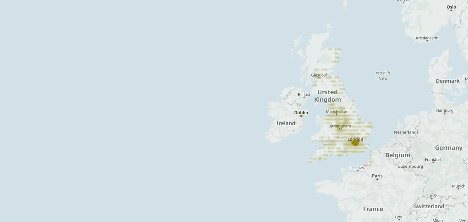
Speed cameras on the UK map
Each dot is a camera on the map. Open the full map to zoom in on a road or a town.
Speed cameras by nation
The speed cameras on the map in each nation.
- England 3,470
- Scotland 238
- Wales 112
- Northern Ireland 5
Speed cameras by city
The cities with pages of their own, and their speed cameras.
- Aberdeen 18
- Birmingham 82
- Bristol 30
- Cardiff 18
- Edinburgh 29
- Glasgow 26
- Leeds 51
- Leicester 8
- Liverpool 8
- London 661
- Manchester 16
- Norwich 12
- Nottingham 99
- Plymouth 54
- Sheffield 21
- Southampton 14
- Swansea 12
The motorways and A roads with the most cameras, each with its count.
Speed cameras near me: questions
Does CamsAhead store my location?
No. Your browser sorts the list on your phone or computer. Your location is not sent to CamsAhead.
How close is near me?
The list shows the closest places first, with the distance to each one in miles. A place links to its own page, or to the full map at that place.
What if I do not want to share my location?
Pick your nation or your city on this page. Each page counts the cameras mapped there.
Sources and updates
- OpenStreetMap contributors: speed, average speed, red light and other enforcement cameras, and the motorways and A roads they sit on, data as of 26 October 2026; ODbL 1.0
- Transport for London (London Safety Camera Partnership): London's speed and red light camera sites, read 7 November 2026. Powered by TfL Open Data. Contains OS data © Crown copyright and database rights 2016 and Geomni UK Map data © and database rights [2019]; TfL Transport Data Service licence (Open Government Licence v2.0 with TfL amendments)
- Office for National Statistics: Local Authority Districts (May 2026) Boundaries UK BGC (generalised 20 m, clipped to the coastline), and the English regions, which place each camera. Source: Office for National Statistics licensed under the Open Government Licence v.3.0. Contains OS data © Crown copyright and database right 2026.
- Natural Earth: the UK outline on the map, 1:50m (public domain)
Cite this page: “Speed Cameras Near Me (UK): 3,825 Mapped, Nearest First”, CamsAhead.com, https://camsahead.com/uk/near-me/, updated 7 November 2026.
How CamsAhead counts cameras · Report a problem · Report a camera