
 CamsAhead.com
Cameras in Malibu
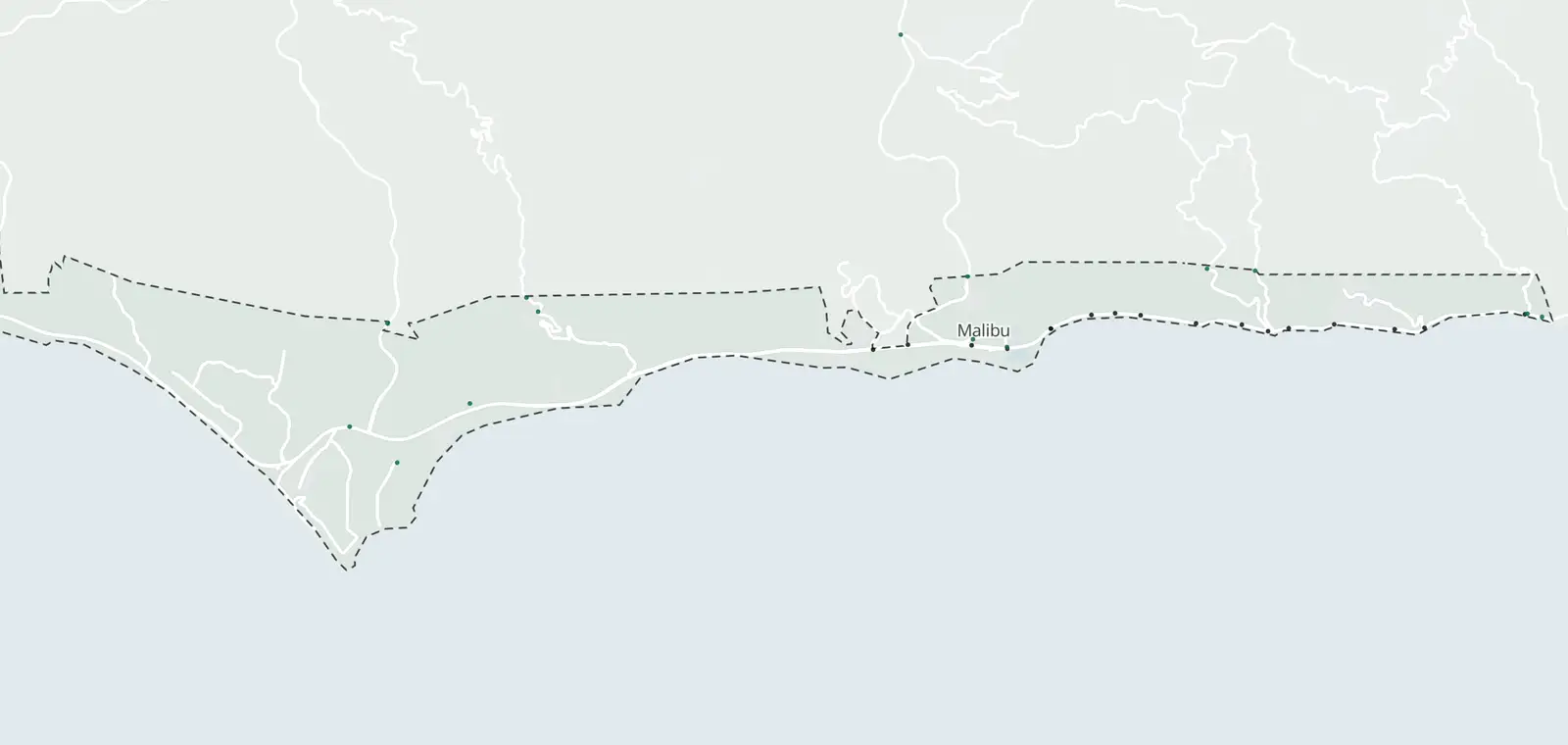
5 listed speed camera locations, 16 mapped plate readers and 17 traffic cameras in Malibu. The speed camera locations are not on the map yet.
Plate readers © OpenStreetMap contributors · Caltrans (CC BY) · © OpenMapTiles
What is inside Malibu, by camera type.
Malibu: 38 cameras listed or mapped. Nearby: Santa Monica Mountains 14, Palisades Highlands 2, Westlake Village 15 and Agoura Hills 28.
Which streets in Malibu have cameras?
17 cameras on 1 street. Tap a street to see it on the map, its cameras in order.
- SR-1 17 traffic at Cross Creek Way
at Webb Way
at Malibu Canyon Rd
at John Tyler Dr
at PED Crossing East Malibu
at Tuna Canyon Rd
at B/W Malibu Pier & Cross Creek Way
at Big Rock Dr
west of Big Rock Dr
at Mid Block
east of Las Flores
at Las Flores / Rambla Pacifico
at La Costa
at Carbon Canyon Rd
at Busch Realty
at Malibu Inn
at Malibu Pier
16 plate readers name no street: see them below.
Speed cameras in Malibu
Malibu lists 5 speed camera locations, not on the map yet.
10 cameras at 5 sites on Pacific Coast Highway, one for each direction. The city lists them as approved.
Red light cameras in Malibu
No red light camera program is listed here.
License plate readers in Malibu
16 plate readers are on the map inside Malibu. 5 carry the Flock Safety tag. 3 more are just outside.
12 of the 16 were first mapped in 2025, with 10 in October alone.
| Where | Maker tag and operator | Facing | First mapped |
|---|---|---|---|
| Malibu Show on map | Motorola Solutions Run by: Not listed yet | Faces northwest (as mapped) | Sep 25, 2025 |
| Malibu Show on map | Motorola Solutions Run by: LASD | Faces south (as mapped) | Oct 11, 2025 |
| Malibu Show on map | Flock Safety Run by: LASD | Faces east-southeast (as mapped) | Oct 11, 2025 |
| Malibu Show on map | Motorola Solutions Run by: LASD | Faces south (as mapped) | Oct 11, 2025 |
| Malibu Show on map | Motorola Solutions Run by: LASD | Faces northeast (as mapped) | Oct 11, 2025 |
| Malibu Show on map | Motorola Solutions Run by: LASD | Faces east-southeast (as mapped) | Oct 11, 2025 |
| Malibu Show on map | Motorola Solutions Run by: LASD | Faces southeast (as mapped) | Oct 11, 2025 |
| Malibu Show on map | Motorola Solutions Run by: LASD | Faces southwest (as mapped) | Oct 11, 2025 |
| Malibu Show on map | Motorola Solutions Run by: LASD | Faces west (as mapped) | Oct 11, 2025 |
| Malibu Show on map | Flock Safety Run by: Not listed yet | Faces east-northeast (as mapped) | Dec 19, 2025 |
| Malibu Show on map | Flock Safety Run by: Not listed yet | Faces west-northwest (as mapped) | Feb 3, 2026 |
| Malibu Show on map | Flock Safety Run by: Not listed yet | Faces east-southeast and west-southwest (as mapped) | Feb 23, 2026 |
| Malibu Show on map | Motorola Solutions Run by: Not listed yet | Faces west-southwest (as mapped) | Jul 18, 2026 |
| Malibu Near ZIP 90265 · Show on map | Motorola Solutions Run by: LASD | Faces south-southeast (as mapped) | Oct 11, 2025 |
| Malibu Near ZIP 90265 · Show on map | Motorola Solutions Run by: LASD | Faces south (as mapped) | Oct 14, 2025 |
| Malibu Near ZIP 90265 · Show on map | Flock Safety Run by: Not listed yet | Faces south-southeast (as mapped) | Sep 6, 2026 |
What the plate readers in Malibu keep
- Records
- The plate of each car that passes, with the time and place. Often a photo of the car.
- Run by
- Tagged ones include LASD (10).
- Kept for
- Not published on the map. Each operator sets its own. Flock Safety’s FAQ: “Flock recommends a 7-day default.”
- Who sees it
- Whoever runs it, and those it shares with. In California, a public agency may share only with other public agencies in the state.
- How to ask
- Read the operator's policy. California requires one. Or ask the city for its records.
Traffic cameras in Malibu
17 Caltrans cameras inside Malibu, on freeways and state highways. City streets are not covered.
Cameras just outside Malibu
Just outside the boundary: 3 plate readers and 2 traffic cameras.
- Plate reader · Santa Monica Mountains 0.3 mi
- Traffic camera · SR-1 South at Topanga Canyon Rd 0.3 mi
- Traffic camera · SR-1 North at Topanga Canyon Blvd 0.3 mi
- Plate reader · Topanga 0.3 mi
- Plate reader · Santa Monica Mountains 0.5 mi
Areas near Malibu
Flock camera pages nearby: Pacific Palisades (31)
Also near Malibu: Unincorporated West Hills · West Chatsworth · Calabasas
Camera tickets near Malibu
Malibu's speed cameras fall under a separate state law for Pacific Coast Highway. Fines and how to respond.
Know when cameras in Malibu change.
Free email alerts for cameras on your routes that start issuing tickets. One summary email a month.
- In your monthly summary: the day a camera near you starts issuing tickets
- New cameras mapped or reported near you
- What plate readers keep, and who runs them
- Your street, your distance, the camera types you pick
156,883 cameras listed or mapped so far.
Sources and updates
How this page was made: CamsAhead writes each page type once, then fills it with this place's data from the sources below.
- City of Malibu: Speed Safety System Impact Report (June 9, 2025), Appendix A, checked Oct 21, 2026
- OpenStreetMap contributors: plate readers (surveillance:type=ALPR), data as of Nov 7, 2026; ODbL 1.0
- Caltrans CWWP2: Districts 6 and 7 camera list, updated daily, last Nov 7, 2026; CC BY
- US Census Bureau places: city boundary, cartographic file 2025 (public domain)
- Flock Safety FAQ: the default retention quoted in What they keep, read Oct 24, 2026
- California Civil Code §1798.90.51: the use and privacy policy rule for plate readers
- California Civil Code §1798.90.55: the rule on who a public agency may share reads with
Plate reader points are mapped by OpenStreetMap volunteers (data as of November 7, 2026).
How CamsAhead counts cameras · Report a problem · Report a camera