
 CamsAhead.com
Caltrans (CC BY) · © OpenMapTiles © OpenStreetMap contributors
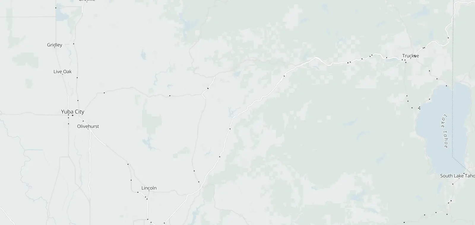
Caltrans lists 16 traffic cameras on I-80 over Donner Pass, from Applegate to Truckee. 16 report in service, and each one links to its picture on Caltrans. The list is updated daily, last November 7, 2026. Caltrans posts chain controls and closures on QuickMap and on its I-80 conditions page.
Donner Pass cameras, Applegate to Truckee
The cameras climb the west slope from Applegate, cross the summit and drop to Truckee, in Placer and Nevada counties. Each list runs by county, then postmile, as Caltrans tags them.
See the Donner Pass cameras on the map
Nearby corridors
- I-80 cameras in California 162 cameras
- Bay Bridge (I-80) cameras 24 cameras
- Lake Tahoe traffic cameras: Highway 50, SR 89, SR 28 and SR 267 22 cameras
Statewide: Caltrans cameras by route and county. Other states: traffic cameras by state.
Road conditions on Donner Pass
Caltrans posts chain controls, closures, freeway sign messages and CHP incidents on QuickMap and on its I-80 conditions page. Drive the posted limit.
In winter, Caltrans lists the chain control rules and the signs that start them on its chain controls page.
Donner Pass camera questions
Is chain control on at Donner Pass?
Caltrans posts them for I-80 on its highway conditions page and on QuickMap. The cameras here show the road at each spot.
Which cameras are at Donner Summit and Kingvale?
Caltrans tags 6 cameras near Soda Springs, the stretch with Kingvale and Donner Summit. They sit in the middle of each list above. Each one links to its picture on Caltrans.
Is there a way to see traffic camera footage?
Not past footage. Caltrans says: “Caltrans traffic camera video footage and still images are neither retained nor archived.” Each camera on this page links to its image on the Caltrans site.
Can I get a speeding ticket from a traffic camera?
No. These Caltrans cameras show the road. They are not speed or red light cameras, and they issue no tickets. Speed cameras have their own pages, such as California speed cameras.
Is there an app that tells you where traffic cameras are?
Yes. The CamsAhead app puts these traffic cameras on a map, with speed, red light and plate reader cameras.
How do I view traffic cameras on Google Maps?
Google Maps does not show Caltrans camera images. Caltrans QuickMap does, and so does this page: each row links to the camera's picture on Caltrans.
Know when cameras in California change.
Free email alerts for cameras on your routes that start issuing tickets. One summary email a month.
- In your monthly summary: the day a camera near you starts issuing tickets
- New cameras mapped or reported near you
- Your street, your distance, the camera types you pick
25,611 cameras listed or mapped in California so far.
Sources and updates
How this page was made: CamsAhead writes each page type once, then fills it with this place's data from the sources below.
- Caltrans CWWP2: cctvStatus feeds for District 3, updated daily, last Nov 7, 2026; CC BY. Camera images are not stored.
How CamsAhead counts cameras · Report a problem · Report a camera