
 CamsAhead.com
© OpenStreetMap contributors (ODbL) · © OpenMapTiles
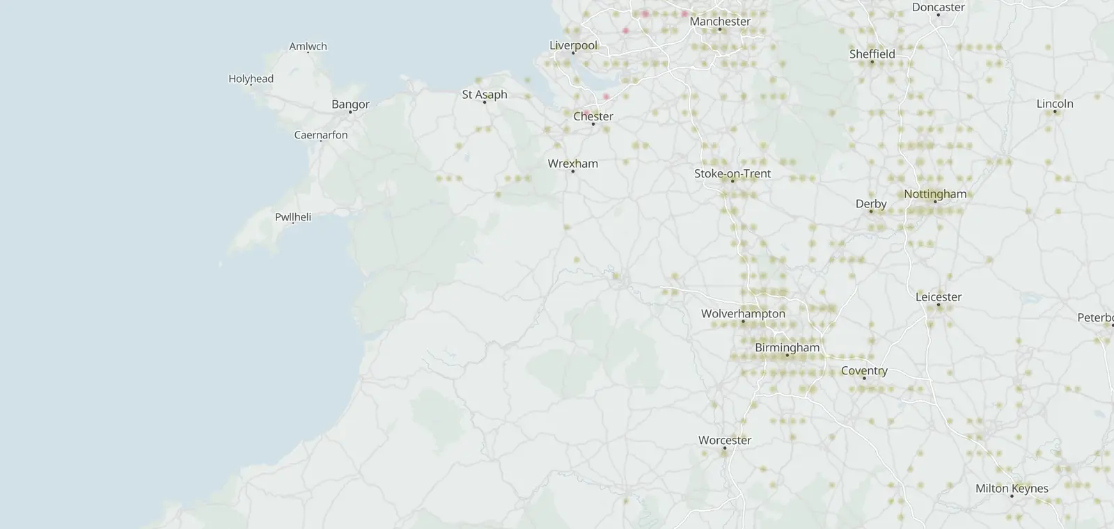
The M6 has 35 speed cameras on the map. The most are in Stafford, with 10. 7 of its 35 cameras have a posted limit on the map, most often 70 mph. No average speed sections are mapped on it. The counts are from the map, as of 26 October 2026.
M6 speed camera map
Each bright dot is a camera on the M6. Faint dots are other cameras close by. Open the full map to zoom in on a stretch of the road.
Cameras on the M6 by kind
35 cameras on the M6 are on the map in all. Average speed cameras are speed cameras too, so the speed total holds them.
- Speed cameras at one spot 35
Where the cameras on the M6 are
The M6 runs through 8 local authority areas that have cameras on the road. Each row counts the cameras on the road in that area.
By region: West Midlands 24 and North West 11.
| Local authority area | Region or nation | Cameras |
|---|---|---|
| Stafford | West Midlands | 10 |
| Cheshire East | North West | 9 |
| South Staffordshire | West Midlands | 6 |
| North Warwickshire | West Midlands | 3 |
| Cheshire West and Chester | North West | 2 |
| Nuneaton and Bedworth | West Midlands | 2 |
| Coventry | West Midlands | 2 |
| Birmingham | West Midlands | 1 |
Posted limits on the M6
7 of the 35 cameras on the M6 have a posted limit on the map. The table counts them by limit.
| Posted limit | Cameras |
|---|---|
| 70 mph | 7 |
Average speed cameras on the M6
No average speed sections or average speed cameras are mapped on the M6.
When the M6 cameras were mapped
21 of the 35 cameras carry the day they were first added to the map. The earliest is from 20 July 2018, the latest from 20 December 2023.
More roads and places
Other roads with pages of their own that run through the same regions, most speed cameras first.
Sources and updates
- OpenStreetMap contributors: speed, average speed, red light and other enforcement cameras, and the motorways and A roads they sit on, data as of 26 October 2026; ODbL 1.0
- Office for National Statistics: Local Authority Districts (May 2026) Boundaries UK BGC (generalised 20 m, clipped to the coastline), and the English regions, which place each camera. Source: Office for National Statistics licensed under the Open Government Licence v.3.0. Contains OS data © Crown copyright and database right 2026.
- Natural Earth: the UK outline on the map, 1:50m (public domain)
Cite this page: “M6 Speed Cameras: 35 Mapped, by Area and Limit (UK)”, CamsAhead.com, https://camsahead.com/uk/roads/m6/, updated 26 October 2026.
How CamsAhead counts cameras · Report a problem · Report a camera